Navigating Land Boundaries
Understanding your property’s boundaries is essential for development and investment decisions.
Type of surveys
We provide tailored surveying services to solve your land-related issues. Our comprehensive approach ensures that every detail matters for your project’s success.

Title & Boundary Surveys
A title survey, also known as a boundary or property survey, is a type of land survey conducted to define a property’s boundaries and ensure that the legal description in the property’s title matches the actual physical characteristics of the land. It is primarily used in real estate transactions to confirm the boundaries, structures, and potential encroachments associated with a property.

Topographic Surveys
A topographical survey provides a detailed map of the natural and man-made features on a property, including elevations, contours, and structures. Essential for architects, engineers, and developers, it ensures precise planning and design by capturing the land’s unique landscape and characteristics.

ALTA Surveys
An ALTA survey offers a comprehensive map of a property’s boundaries, easements, and improvements according to strict standards, ensuring accuracy for real estate transactions. Ideal for lenders and buyers, it uncovers potential issues that could affect title and property use.
Our Journey to Excellence

Contact Us for Expert Surveying Services Today!
OR Call Us At:
5162406901
Why Choose Us
Our services deliver peace of mind and accuracy. Explore the significant advantages of working with experienced professionals.
Accurate Measurements
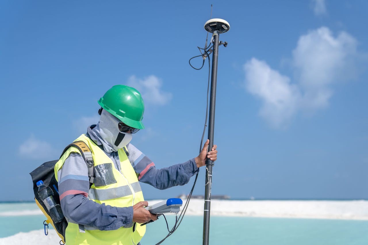
Utilizing state-of-the-art technology, we provide precise data that is essential for any land-related project, minimizing risks and disputes.
Compliance Assurance
Our surveys adhere to all regulatory standards, ensuring you are fully compliant in every transaction and construction phase.
Tailored Solutions
We understand every project is unique. Our team offers customized surveying services designed to meet specific client needs and project goals.
Need Expert Surveying Services?
OR Call Us At: